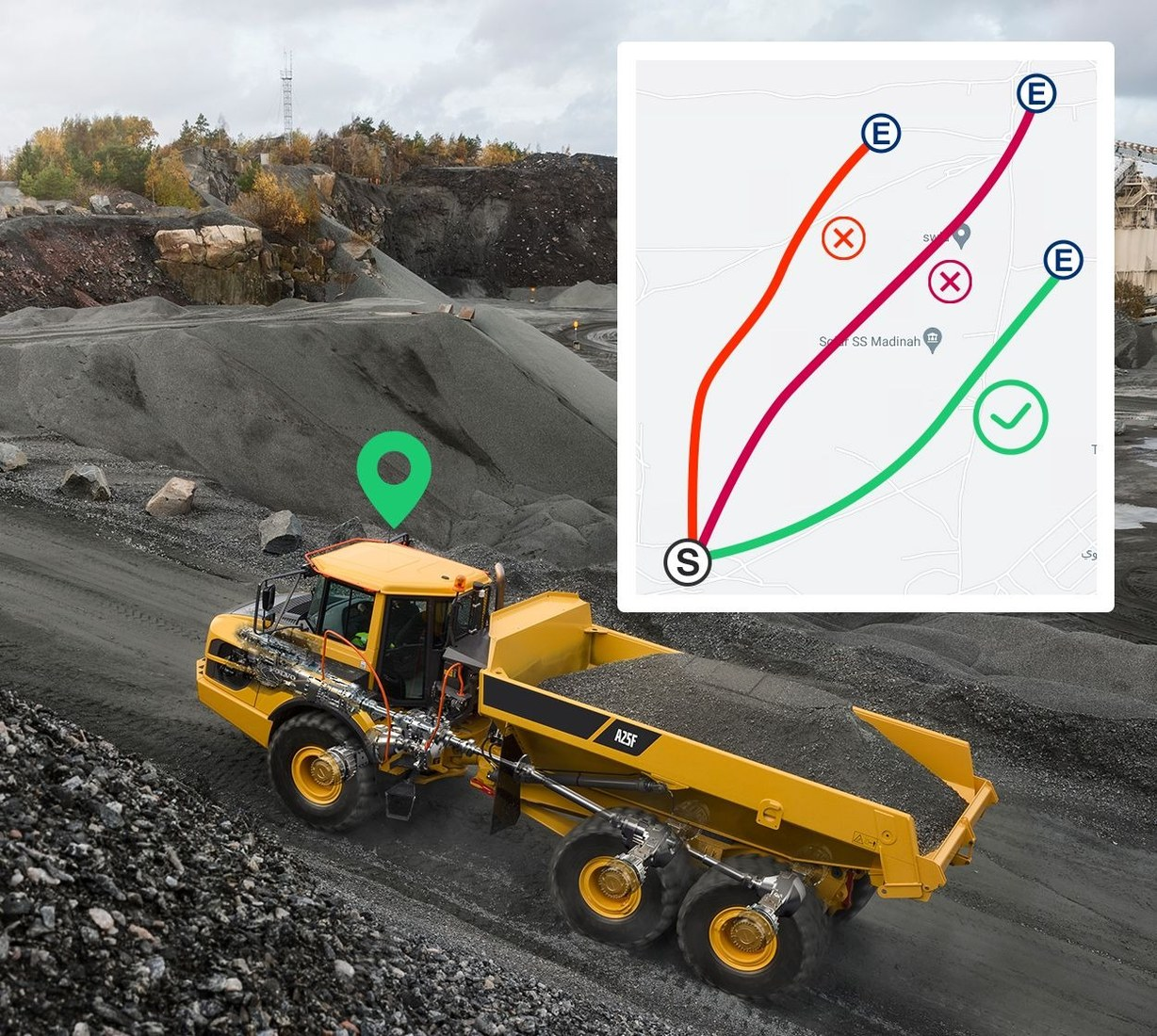
General fleet tracking and mine dispatch both use vehicle location data, but they solve different levels of operational complexity. A road fleet mainly needs to know where vehicles are, how they moved, and whether they followed defined rules. Within a production environment, a mining dispatch system must account for haul routes, loading points, dumping areas, equipment queues, and safety zones that change with the work cycle.
The distinction matters because mining vehicles do not operate as independent delivery units. Haul trucks, excavators, service vehicles, and support equipment interact within a constrained site. A mining collision avoidance system adds another safety layer by helping address proximity and blind-zone risk, while dispatch focuses on movement and production coordination. These functions can share data without being interchangeable.
What General Fleet Tracking Can Cover
Standard tracking can provide a useful baseline in a mine. GPS position, speed, route history, ignition status, geofences, stop time, and basic driver events can show where vehicles have been and whether they are following authorized movement patterns. This information can support asset visibility, security, contractor monitoring, and simple compliance records.
General tracking also helps supervisors investigate exceptions. A vehicle that enters a restricted area, remains idle beyond a threshold, or deviates from an approved road can generate an alert. Historical data can then confirm when the event occurred and how long it lasted. These capabilities are valuable even when a site does not yet operate a full mining dispatch system.
The limitation appears when production decisions depend on interactions between multiple machines. A map can show two haul trucks waiting near a loading point, but basic tracking alone does not determine which truck should be assigned next or how the queue affects excavator utilization. That requires operational logic that understands tasks, capacities, destinations, and the current state of the mine.
Update frequency and positioning quality still need to match mine operations. A low-frequency tracker may be adequate for general asset visibility but too slow for decisions around rapidly changing queues or controlled zones. The deployment plan should define where higher update rates are necessary and where ordinary tracking is sufficient, because increasing every message rate can raise communications cost without improving the specific workflow.
Where Mine-Specific Dispatch Adds Control
Mine dispatch connects location data to the production cycle. The system can use vehicle status and site conditions to coordinate assignments between loading and dumping points, reduce unnecessary queues, and keep haulage aligned with the day’s plan. Vehicle visibility by itself is insufficient; dispatch data should support the movement of material through a controlled sequence of tasks.
Dynamic conditions make this important. A road closure, equipment fault, congested loading area, or change in production priority can alter the best assignment. Dispatchers need a current operating picture and a way to communicate new instructions. BSJ Technology‘s mining solution emphasizes real-time GPS tracking and intelligent dispatching alongside vehicle health and driver-safety functions, showing how telematics can support both movement and operational control.
Data quality remains critical. Incomplete positioning, delayed status updates, or inconsistent equipment identifiers can cause the dispatch layer to make decisions from an inaccurate site model. Buyers should test coverage across pits, ramps, workshops, and loading areas, and they should define fallback procedures for places where communications are intermittent.
Dispatch often exchanges information with other mine systems, including production planning, maintenance, and equipment-status sources. Vehicle identity, task status, load or destination data, and equipment availability need consistent definitions if automated assignment logic is used. Integration testing should therefore include abnormal cases such as a truck taken out of service or a loading point becoming unavailable, not only normal haul cycles.
Link Dispatch Decisions with Safety Technology
Production optimization should be considered alongside heavy-vehicle safety. Large mining trucks have substantial blind zones, long stopping distances, and frequent interaction with light vehicles and workers. Close-range protection through a mining collision avoidance system can use cameras, AI detection, proximity sensing, or warning logic to address hazards that dispatch location alone cannot resolve at close range.
BSJ Technology describes AI-enabled cameras for driver behavior, blind-spot awareness, and safety alerts in mining operations. Video can add context to speeding, harsh braking, fatigue, or near-miss events, while GPS can show where the behavior occurred. Combining those records helps safety teams identify whether a problem is linked to a driver, a route design, a congested zone, or a recurring operational pattern.
The practical choice is therefore not between tracking and dispatch as mutually exclusive products. General tracking can establish visibility, a mining dispatch system can coordinate production movement, and a mining collision avoidance system can address immediate proximity risk. A commercial mining project should define which layer solves each problem, then integrate the data where a shared view improves decisions without creating unnecessary system complexity.
Safety zones can also be linked with operational events. A vehicle entering a restricted area may trigger a location alert, while video or a proximity system provides the close-range context that GPS cannot. Separating these layers lets the mine apply the right technology to each distance scale instead of relying on a single sensor for all collision-related risks. Separate performance thresholds can then be set for dispatch accuracy, video evidence, and proximity-warning performance rather than blending all three into one vague safety score.